Anthropogenic and natural drivers of a strong winter urban heat island in a typical Arctic city
Observations and model experiments separate urban heating from terrain-driven temperature differences in Apatity.
Research / Urban Climate
The atmosphere close to the ground connects northern urban heat islands, warm nights and the design of useful local information.
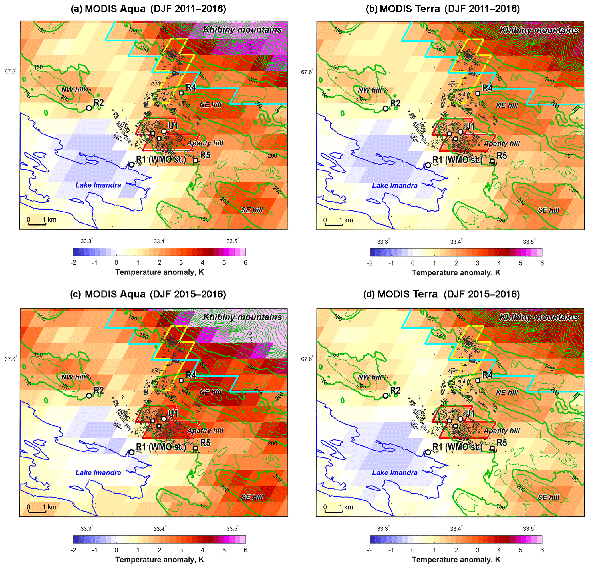
In our Apatity study, with Mikhail Varentsov as first author alongside Pavel Konstantinov, Alexander Baklanov, Igor Esau and Victoria Miles, observations and model experiments distinguished human heat sources from the effects of terrain. That distinction matters when interpreting an urban–rural temperature comparison.
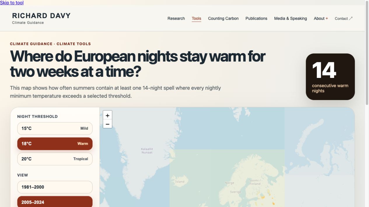
A daily maximum is only one part of heat exposure. My work on day/night warming connects the depth of the boundary layer to temperature response. The warm-night explorer lets visitors examine sustained periods of warm nights across Europe using ERA5-Land. The maps describe conditions at the ERA5-Land grid scale.
Surface moisture, vegetation, building form and the surrounding topography affect local conditions in different ways. I want the evidence behind a climate map to remain visible: what was observed, what was modelled and what spatial scale the result can support.
Research record
Observations and model experiments separate urban heating from terrain-driven temperature differences in Apatity.
Examines how boundary-layer processes contribute to different warming rates during the day and night.
From evidence to exploration
Basemap © OpenStreetMap contributors
Where are sustained warm-night spells becoming more frequent?
ERA5-Land; 14-night spells at selected minimum-temperature thresholds.
1981–2000 versus 2005–2024. Results describe grid-scale climate conditions.
In conversation
An institutional video explaining urban heat islands, surface properties, moisture and the role of vegetation.
View explainer ↗